Trip Leg Map 40°23'N, 23°49'E - 40°30'N, 23°55'E
Thu Aug 23, 2001. From 0.38 km SW of Provlax (populated place) (topological, street map) (13:35:44) to 2.13 km NW of Asprolakkos (stream) (topological, street map) (14:10:52) covering a travel distance of 23.73 km at an average speed of 40 km/h over an area of 121 sq km. Duration 35 minute(s), travel time 35 minute(s).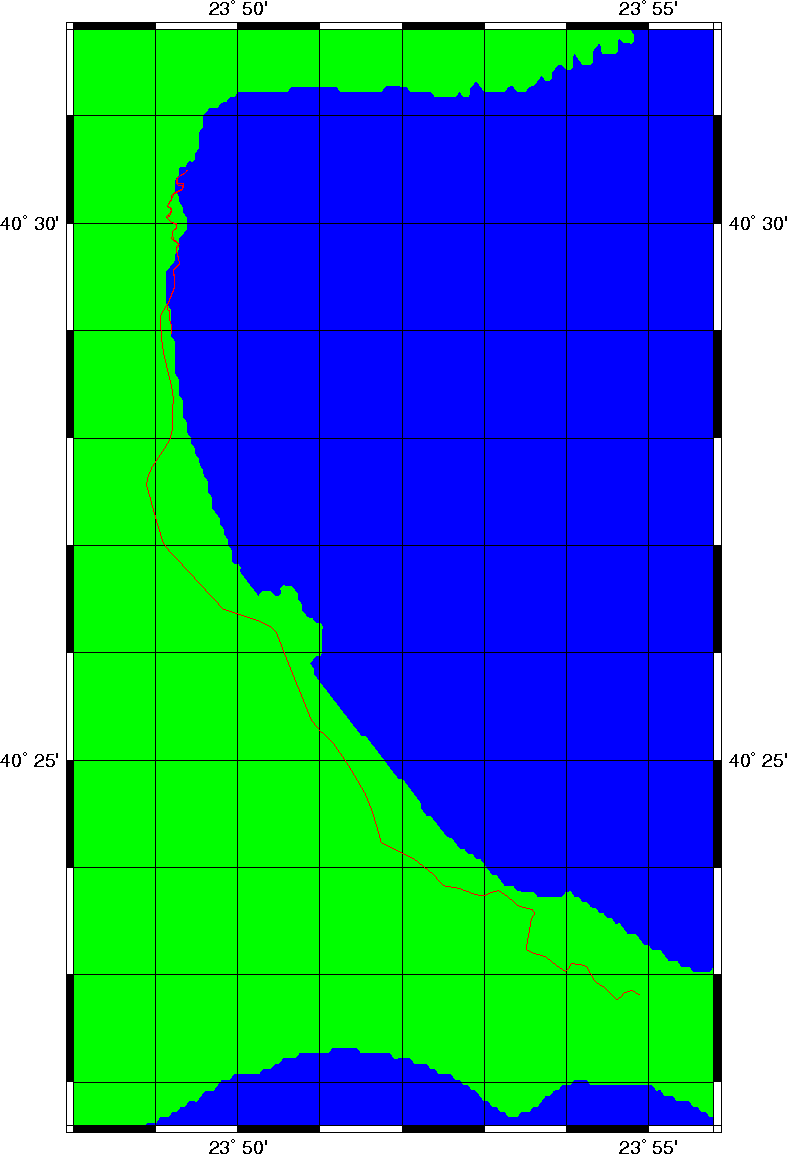
Trip index Previous Next