Trip Leg Map 39°58'N, 23°45'E - 40°8'N, 23°55'E
Fri Aug 24, 2001. From 1.51 km W of Metokhion Konstamonitou (populated place) (topological, street map) (18:10:44) to 0.52 km N of Port Kupho (bay) (topological, street map) (18:44:20) covering a travel distance of 31.48 km at an average speed of 56 km/h over an area of 265 sq km. Duration 33 minute(s), travel time 33 minute(s).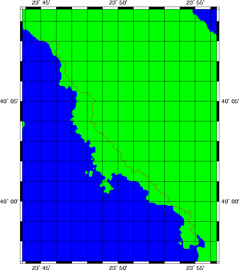
Photos: 1
Trip index Previous Next